Make the most of your stay at the Hotel Class Valls!


The Class Valls Hotel invites you to discover the most interesting places and activities for sightseeing in the city of Valls and its surroundings. Enjoy your stay at the hotel and explore this area of the Costa Dorada, with one of the richest historical and cultural legacy of the Tarragona region and Catalonia.
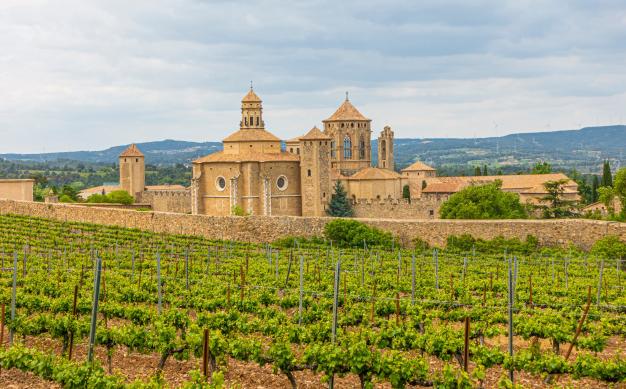
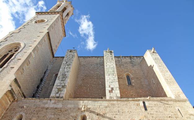
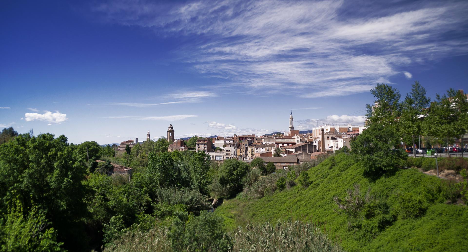
If you're interested in local culture, walk around the historic center of Valls or attend any of the meetings castellers that take place regularly in the capital of Alt Camp, the most important tradition of Tarragona and probably throughout the Catalan territory. If you love good wine, you can choose to visit a nearby winery ; and if you prefer walking and sport you can follow some of the marked trails on foot or by bike, or visit the Cistercian Route, full of monasteries recognized internationally.