
Counties: Alt Camp
Distance: 28.78 km
Climb: 360.0 m
Duration: 1 h 42 min
Vertical descent: 360.0 m
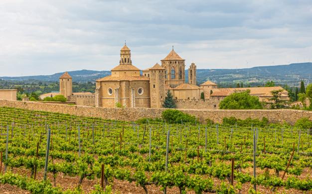
If you go with a private vehicle , is reached by the A2 (exit 11) and then the TP- 2002 road passing by Vila- rodona and reaches the Santes Creus. The signs leading to the monastery followed. You can park in the parking area • existing in the wall surrounding the monastery. In the Plaça de Sant Bernat is the entrance of the monastery and the city .
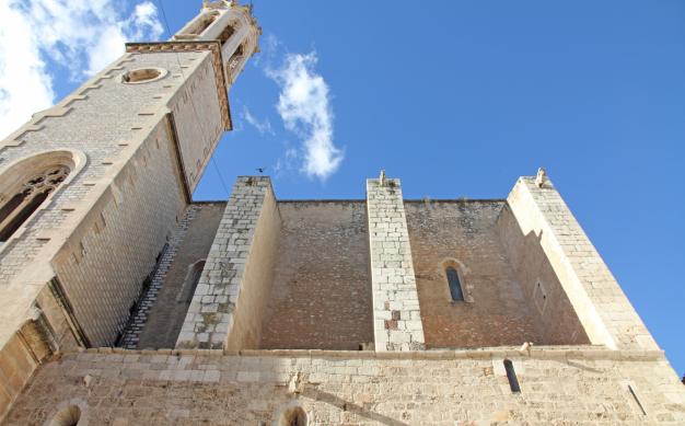
0.00 km ( 311 m). The route begins on the Plaça de Sant Bernat . Looking at the facade of the monastery , the left side of the square is a tunnel : is still going under the tunnel ( Carrer de la Ferreria ), which is a narrow street with a slight slope that exits the monastic enclosure . At the end of the street a small square with 3 mulberry is . Turn right, up until you find the road along the monastery. The road to the right is taken and always follow the wall around the monastery. The wall is around the corner right along a paved road , and continues resiguiéndolo be watching behind the monastery .
1.20 km ( 300 m). You enter the urbanization Els Manantials by Carrer de la Vinya Closa . It goes down the street at the end of the descent we reach the road and GR signals are reunited . The left hand road towards Aiguamúrcia gets . From there you should go following signs of GR 172-1 , provided with red and white paint .
2.40 km ( 275 m). Aiguamúrcia . Continue onto the next straight street ( Carrer de les Deveses ) following the sign towards Vila -rodona . Follow the red and white markings . It passes in front of a shrine ; then the road goes down the stairs on the right. You continue along a narrow street , turn right and it will give the road. Continue along the road for about 250 meters until you signal indicating GR - Vila rodona by a path down the left hand (2.95 km route ) . Continue along this road ; there is a section in which it will aperarse bicycle , especially when crossing the stream several times by three rustic wooden walkways that are encountered on. We must follow the path marked with red and white markings.
4.60 km ( 271 m ) . Vila- rodona . It is reached by the Avinguda de l' Alt Camp . If you continue along the Avinguda Pau Casals, is to give the castle ; if it continues through the tunnel and turn right, following the Carrer Sant Llorenç , will reach the Plaça de l' Església . The road is passing the Plaça de l' Església, always straight . At the end of Carrer Josep Maria Ferrer is a road that goes left and the Carrer Vilardida , following straight : take the Carrer Vilardida rectum.
5.50 km ( 254 m). A detour to the right leads to a columbarium , located 300 m away, worth admiring. It becomes the same route .
7.70 km ( 235 m) . It passes under the freeway.
8.70 km ( 230 m) . Vilardida . After 20 m you will reach the road to follow the right.
9.50 km ( 232 m). Goes a dirt road on the left signposted from the address Bràfim GR 172-1 : follow in that direction.
11,30 km ( 246 m ) . Crossroads . It follows the left towards Bràfim . Then there is a road to the right direction following Bràfim .
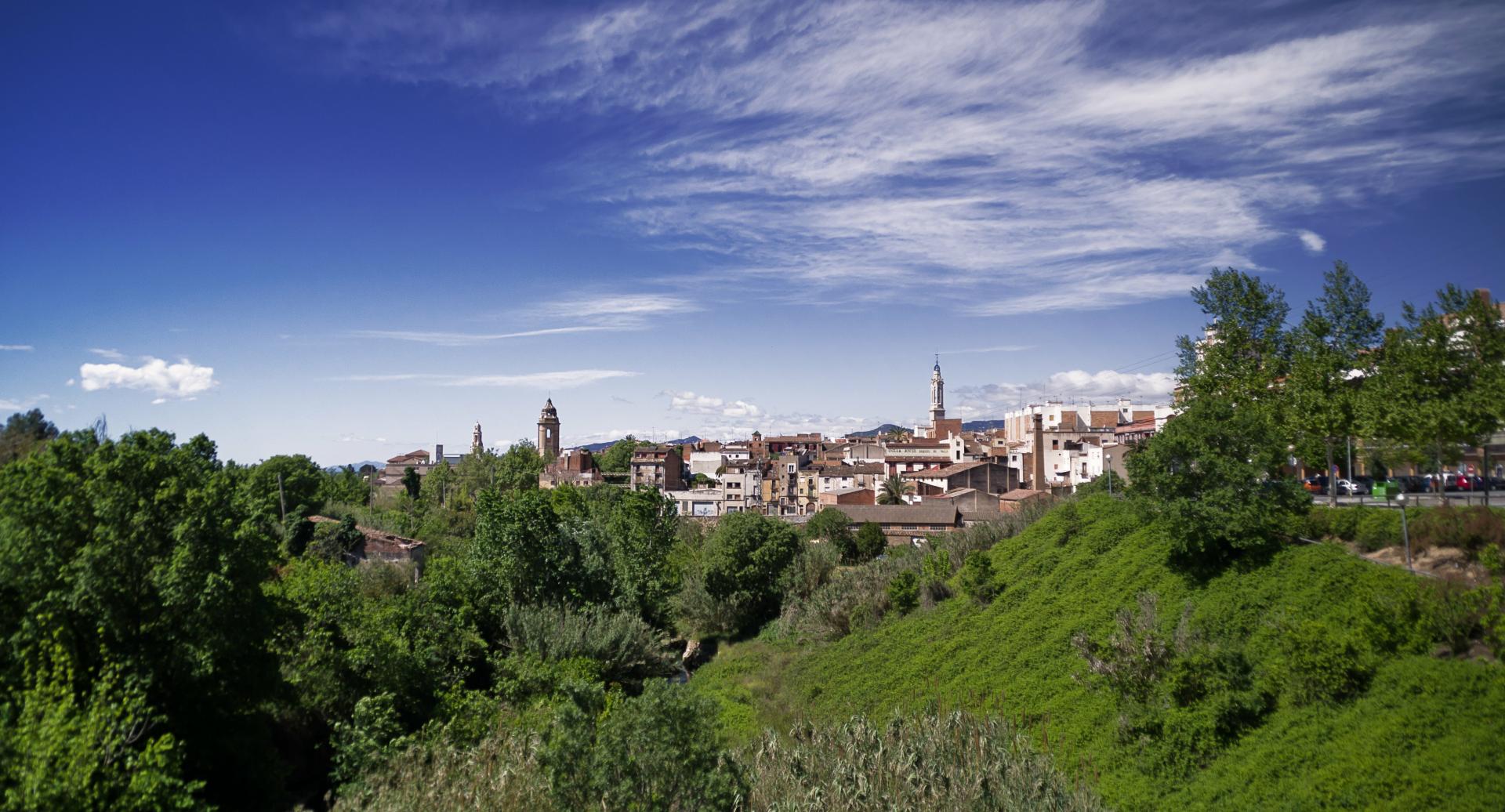
12,00 km ( 233 m). Bràfim . You enter the village at Avinguda de l' Alt Camp, continues up to the square and go straight for the Avinguda de Catalunya. At the end of the avenue, on the right, take the Carrer Verdaguer , crosses the Carrer Major and Carrer Sant Isidre take the left, then right . It is down and hits the road : go straight , wider road crossing and continue straight .
12,90 km ( 235 m) . In a right hand curve leaves a path up straight because the route goes left . From there is always followed by the paved up to Alió .
16.50 km ( 261 m). Allied . Go up the Carrer Vendrell Pare down to the road. The road to fetch the Plaça Nova, which is just a little ahead right crosses. Continue along the left side of the Plaça Nova and turn left along the Carrer Major. It follows the Carrer Major up to the Plaça del Castell , lower right hand side is taken and at the end of it , turn left : the red and white markings are followed.
18,45 km ( 263 m). You reach a junction of three roads , where there is a sign indicating the Holy Cross - Valls . It takes the path to the right , toward the Santes Creus. At 100 m there is a fork : it follows the right path .
19,00 km ( 269 m). End white and yellow signs and GR 172 is taken. From that moment we must always follow the Santes Creus signaling and GR 172 brands of red and white paint.
22.50 km ( 296 m). The motorway tunnel through the crosses.
23.20 km ( 315 m). You reach the road. Beware! Be crossed and take the path that is right in front the other hand, is a dangerous spot because it is between two curves.
24.00 km ( 335 m). We must follow the track to the right following towards the Santes Creus (GR 172).
25.40 km ( 340 m) . Continue along the road leaving the track to the right.
26.50 km ( 355 m). Camping . It follows the path down to the right just after the camping . At that point begins a decline. Pay attention to the last stretch before reaching the road: a sharp curve to the left with a path that leads straight ; should bend the curve to the right and go down .
27.70 km ( 315 m). Road . Continue along the road to the left towards the Santes Creus : already see the monastery. It goes down the road to find a turnoff to the right that says the Santes Creus Monastery . As they passed the bridge turn right and follow this street straight until you get back to the monastery.
28.80 km (312 m). Return to the monastery.